Miacomet Pond
Miacomet Pond is a 43.5-acre freshwater pond, stretching 1.5 miles long, located on the south shore of Nantucket. This glacial…
Sesachacha Pond
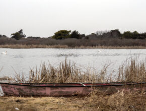
Sesachacha Pond is located on the east end of the island and is Nantucket’s largest body of brackish water, as…
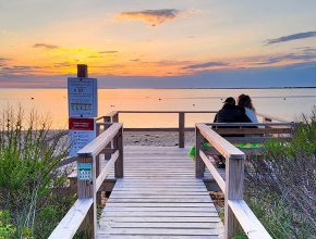
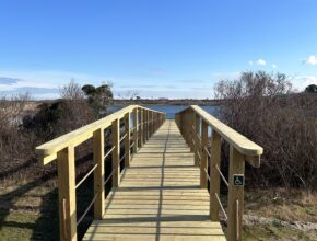
Handicap Accessible
Maxcy Pond
Maxcy Pond is a picture-perfect freshwater pond located in northwest Nantucket. With several access points to the water, it is…
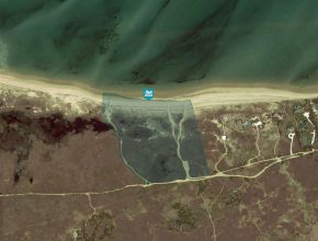
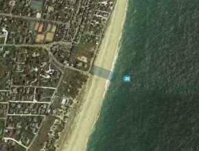
40th Pole
40th Pole is located on the north shore of the island and has small waves, which makes it ideal for…
Codfish Park
Located on the east end of the island, this beach has medium sized waves and is close to the center…
Cisco Beach
This popular surf beach is on the south shore and there is a large submerged sandbar that allows waves to…
Ladies Beach
Located south of Bartlett Farm and within the Smooth Hummocks Coastal Preserve, this beach features excellent body surfing and boogie…
Madequecham Beach
Madequecham is located on the southeastern shore of the island and is accessed by a long dirt road that leads…
Settler’s Landing
Settler’s Landing is located along the edge of Madaket Harbor on the western end of the island and features small…
Handicap Accessible
Surfside Beaches (Western Ave, Stones and Footsteps)
The Land Bank maintains three beaches along the south shore near Surfside Beach. The first is opposite the youth hostel…
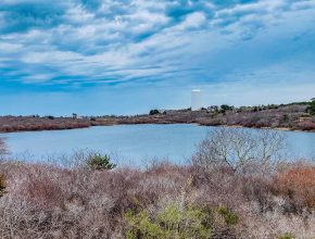
Capaum Beach
Capaum Beach, also known as Water Tower Beach, is located on the north shore of the island. The beach and…
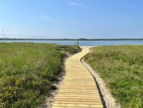
Long Pond Landing
The Land Bank purchased this property in 2015 with the goal of improving public access to Long Pond, one of…