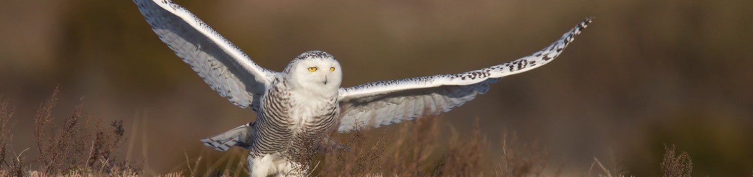
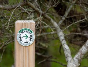
The Coast to Coast Trail
About the Coast to Coast Trail The Coast to Coast Trail is just over 24 miles long and takes hikers…
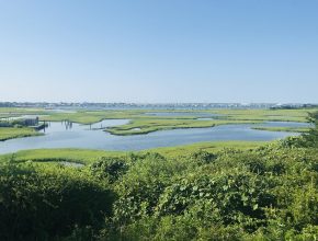
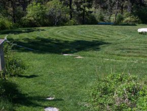
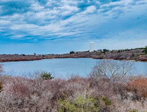
The Creeks Preserve
The Creeks Preserve overlooks the Creeks salt marsh, Nantucket Harbor, and on a clear day, Brant Point Lighthouse. Acquired in…
Handicap Accessible
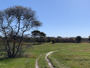
Gardner Farm
This property was purchased from the Gardner Family in 1995. Now known as the Gardner Farm, this 112 acre parcel…
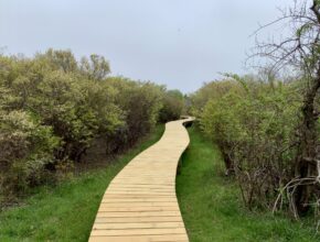
Hinsdale Park & Discovery Playground
Hinsdale Park, located on Old South Road, is a multi-use area dedicated to outdoor play, fitness and community gathering. It…
Handicap Accessible
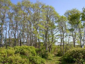
Beechwood Farm
Beechwood Farm is located in Polpis, which was originally the agricultural center of Nantucket. The name is taken from an…
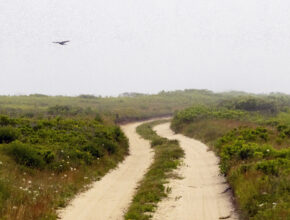
Smooth Hummocks Coastal Preserve
The Smooth Hummocks Coastal Preserve provides a beautiful location to walk along the south shore of the island and serves…
Lily Pond Park
The Land Bank acquired Lily Pond Park in 1986. Located just a short walk from downtown, this park offers a…
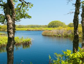
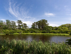
Maxcy Pond
Maxcy Pond is a picture-perfect freshwater pond located in northwest Nantucket. With several access points to the water, it is…
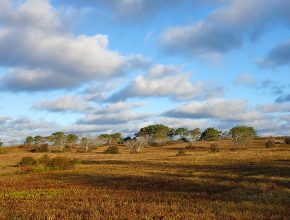
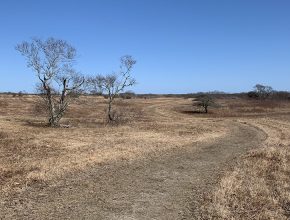
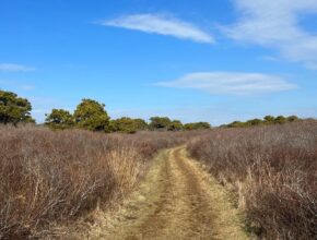
Head of the Plains
Head of the Plains is a vast corridor of conservation land, with more than 1,000 acres jointly owned by the…
Millbrook Woods & Heritage Orchard
The Millbrook Woods property bookends Massachusetts Audubon’s Lost Farm property, which abuts the Land Bank’s Gardner Farm on its other…
Stump Pond
Stump Pond is another property that is jointly owned by the Land Bank and the Nantucket Conservation Foundation. The single-track…
Sheep Commons
As its name suggests, this property was historically used as pastures for sheep grazing, the traces of which are visible…
Sanford Meadows
Sanford Meadows is a scenic 165-acre property located on the Western end of Nantucket off of Madaket Road. Along with…
Burchell Farm
Our 70-acre Burchell Farm property runs along the northern half of Miacomet Pond. Its location allows it to serve as…
Trott’s Hills
Bisected by Madaket Road, the Trott’s Hills property is owned to the north by the Nantucket Land Bank and the…
Reyes Pond
In 2017, the Nantucket Land Bank acquired what was the Reyes family property at 219 and 231 Polpis Rd. The…
Holly Farm
The Holly Farm property was originally owned by Donald and Marie Craig, who grew and harvested holly for local sales…
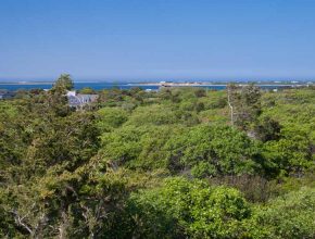
Shawkemo Highlands
To reach the Shawkemo Hills trail system, take the first right hand turn off of Polpis Road after North Pasture…
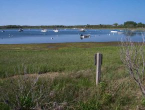
West End Overlook
The West End Overlook is a 17-acre property located in Madaket and provides easy public access to Madaket Harbor for…
South Shore Loop
The South Shore Loop is an 81-acre property, featuring a diverse ecological landscape which contains dunes, sandplain grasslands, coastal heathlands…
Peter Folger Homestead
The Land Bank purchased 20 acres of the Peter Folger Homestead from the owners of Sea Pony Farm in 2016…
Cato Commons
Cato Commons is a 17-acre natural refuge nestled in the heart of a mid-island neighborhood, situated less than a mile…
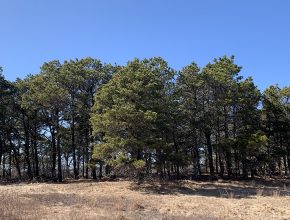
Miacomet Woods
Situated across from Miacomet Pond, Miacomet Woods is a 32-acre forest dominated by pitch pines. These trees provide essential habitat…